
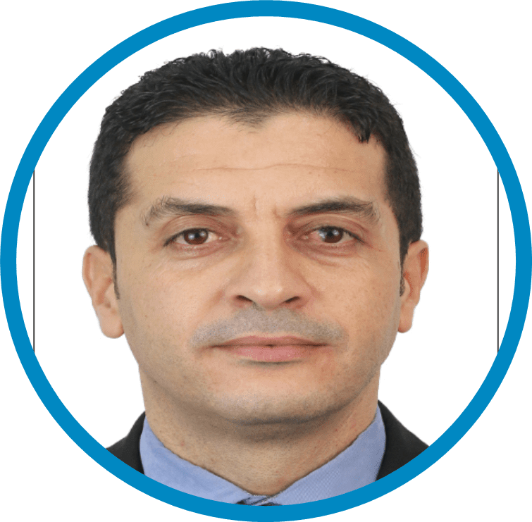
BIOGRAPHY: VICE PRESIDENT FOR NORTHERN REGION
KARIM MOKHTAR
09/2025 – present: Chairperson of the Steering Committee
03/2022 – 08/2025: Head of Applied Geology Department
01/2020 – 02/2022: Head of Geotechnical Studies Unit
03/2009 – 12/2019: Geotechnical Engineer
- Team leadership and management;
- Planning, management and monitoring of project implementation;
- Preparation of action plans and annual reports;
- Drafting of technical specifications and terms of reference;
- Production of geological hazard susceptibility maps;
- Conducting geological hazard assessments;
- Preparation and validation of slope stability and reinforcement studies;
- Preparation and validation of geotechnical studies;
– Design and supervision of geotechnical works (soil reinforcement, slope stabilisation, deep foundations, soil replacement and embankment works, etc.);
– Knowledge and mastery of quality standards.
- Landslide and flood susceptibility maps for the northern Algerian wilayas;
- Reports on coastal erosion sensitivity and marine submersion along the Algerian coastline;
- Preparation of inspection and expert assessment reports on landslides;
- Monitoring and supervision of the construction project of the FOUKA seawater desalination plant with a capacity of 300,000 m³/day using reverse osmosis;
- Geotechnical design study for the implementation of the drinking water supply (AEP) project serving localities along the Eastern and Western transfer corridors of the “High plains of Setif” from the Mehouane Dam, including twelve reservoirs with capacities ranging from 1,000 to 40,000 m³;
- Geotechnical design study for the development of Oued Ouchaiah Lot 2 project involving the construction of a 5.5 km monolithic structure, Wilaya of Algiers;
- Slope stability analysis and reinforcement study of the eastern slope of Cell No 03, Hamici engineered landfill site (CET), Wilaya of Algiers.
About Me
QUALIFICATION: State-Certified Engineer in Engineering Geology and Geotechnics.
Member of the Intersectoral Committee of the National Delegation for Major Risks in Algeria;
Member of the Ministerial Commission responsible for drafting the implementing regulations of the Mining Law;
Member of the Procurement Committee of the Geological Survey Agency of Algeria;
Member of the Organisation of African Geological Surveys.
INFORMATION ON THE GEOLOGICAL SURVEY AND THE COUNTRY
The Geological Survey Agency of Algeria (ASGA), established by Law No. 14-05, is a public institution with legal personality and financial autonomy. Its mandate includes:
– Acquisition of fundamental geological information through geological mapping, mineral inventory activities, and geological data collection;
-Management of the National Geological Data Bank (BNDG);
The public dissemination of geological information in various formats.